Support for Bureau of Land Management Assessment, Inventory, and Monitoring
Project Brief
The Challenge
The Bureau of Land Management wants to better understand the condition and trends of natural resources in order to guide policy actions, land use, and management decisions. To gain that understanding, BLM needs ongoing support for sampling many different parameters across a wide variety of landscapes and subsequent analysis of the environmental data.
ERG's Solution
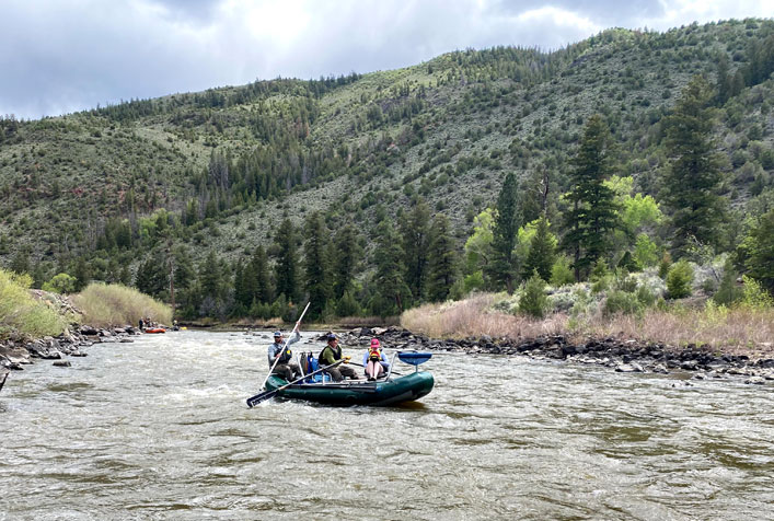
Since 2019, PG Environmental (a division of The ERG Group) has supported BLM’s Assessment Inventory and Monitoring program. AIM consists of a standardized set of field survey protocols that can be used to assess the condition of land across a variety of landscapes, including rangeland, rivers and streams, and wetlands. PG staff have surveyed over 3,500 sites across 10 western states, often navigating rugged and remote landscapes using specialized vehicles and equipment. PG’s field staff conduct botanical inventory assessments, collect soil characterization data, assess rivers and streams habitat, and collect water quality and macroinvertebrate data. PG also works closely with BLM managers to conduct statistical, geospatial, and trend analysis of collected data to help BLM answer questions such as:
- Are management areas attaining BLM land health standards?
- What is the distribution of invasive species and where can prioritization of treatment areas occur?
- What is the effectiveness of reclamation or restoration treatments?
- Are we maintaining or improving habitat conditions for species of management concern (e.g., greater sage-grouse, native fishes, and mule deer habitat)?
- What is the effectiveness of land use plans?
- What is the existing condition and trend of resources that may be affected by a proposed action? Is BLM meeting performance measures outlined in the Department of the Interior Strategic Plan?
Client
Bureau of Land Management