Improving EJSCREEN: A Tool for Advancing Environmental Justice
Project Brief
The Challenge
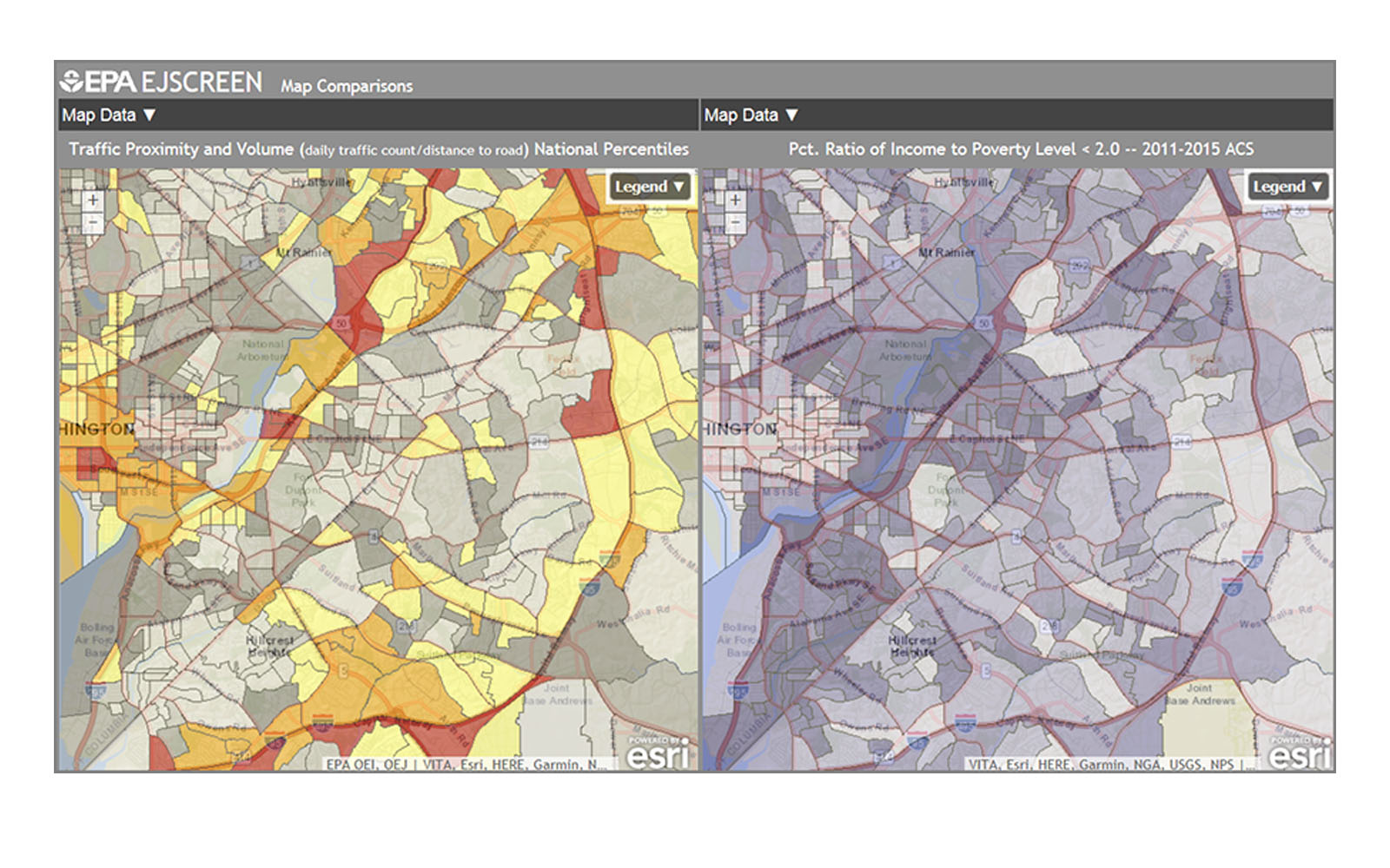
EJSCREEN is a publicly available environmental justice mapping and screening tool that provides environmental and demographic information for locations across the United States. It can help identify possible environmental quality issues in communities and advance environmental justice. But it currently captures only certain environmental indicators, and the data used to produce these indicators can vary in quality, coverage, and resolution.
ERG's Solution
ERG helped EPA develop an updated water environmental indicator and map layer for EJSCREEN. Previously, the water environmental indicator was solely based on the number of major NPDES (National Pollutant Discharge Elimination System) facilities within a specific radius and had no relationship to the discharge or potential impacts of pollutants in associated stream reaches. ERG incorporated discharge data from other EPA databases to improve the indicator and create a new map layer showing the locations of municipal and industrial wastewater treatment facilities.
Client
U.S. Environmental Protection Agency