Monitoring Rangelands Across the West
Project Brief
The Challenge
The Bureau of Land Management manages public lands for multiple uses and wants to better understand the condition and trends of BLM-managed natural resources to guide policy actions, land use, and management decisions. To gain that understanding, BLM needs ongoing support for monitoring the lands they manage across a wide variety of landscapes and for subsequent analysis of the environmental data. BLM contracted with ERG to provide this type of support for its Terrestrial Assessment, Inventory, and Monitoring (AIM) Program.
ERG's Solution
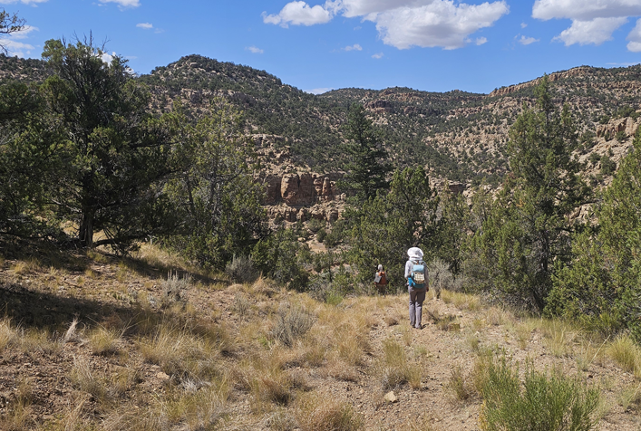
ERG has supported BLM’s Terrestrial AIM Program since 2019. Terrestrial AIM consists of a standardized set of field survey protocols to assess the condition of land across a variety of landscapes. Our staff have used these protocols to survey over 6,000 upland sites across five western states, often navigating rugged and remote landscapes using specialized vehicles and equipment. As part of this work, ERG field staff conduct botanical inventory assessments and collect data to characterize soil and other crucial ecological features that BLM staff can use to inform important land management decisions. ERG staff also work closely with BLM managers to conduct statistical, geospatial, and trend analyses of collected data to help BLM determine the effectiveness of restoration treatments or land use plans, analyze habitat conditions for species of concern, and visualize the distribution and spread of invasive species among many other uses.
Client
Bureau of Land Management