Protecting Hawaiʻi State Waters That Are No Longer Federally Protected
Project Brief
The Challenge
Following the 2023 Supreme Court Sackett decision and subsequent changes to the definition of Waters of the United States (WOTUS), certain ephemeral streams, wetlands, and other relatively non-permanent waters were no longer federally regulated under the Clean Water Act but remained protected under Hawaiʻi state water pollution control laws. The Hawaiʻi Department of Health (HDOH) Clean Water Branch (CWB) needed a standardized approach for protecting non-WOTUS state waters and an accessible way to help project proponents, regulators, and the public identify where state waters may be present and when additional review, coordination, or regulatory considerations may be needed.
ERG's Solution
ERG supported HDOH in developing a framework and guidance for protecting state waters no longer considered WOTUS following the Sackett decision. ERG reviewed Hawaiʻi’s existing regulations and researched approaches adopted by other states to protect state waters from dredge-and-fill activities. Working closely with HDOH, ERG developed a “Non-WOTUS State Water Strategy” that proposed a standardized, streamlined permitting framework and a “Protocol for the Identification of State Waters” that provides a systematic approach for identifying state waters through desktop analysis and field evaluation.
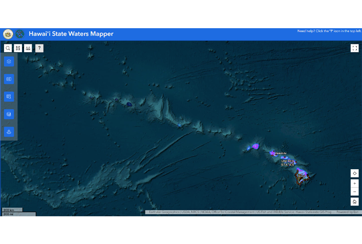
To support implementation of this framework, ERG developed the State Waters Mapper, a public-facing, Esri-based web application for conducting initial desktop evaluations of potential state waters within a user-defined area. ERG translated regulatory guidance and desktop evaluation procedures into a streamlined ArcGIS Experience Builder application, organized relevant publicly available spatial datasets—including hydric soils and wetlands—and developed automated processes that rapidly summarize information users would otherwise need to gather through a complex, multi-step process. ERG also supported development of the accompanying public guidance webpage. Together, the guidance, identification protocol, and State Waters Mapper provide CWB with an integrated approach for protecting state waters and give users a centralized resource to define a search area, review mapped indicators of potential state waters, and obtain spatial information to inform planning, permitting, and environmental review decisions.
Client
Hawaii Department of Health