ERG Contributes to a New Hurricane Planning Tool for Coastal Communities
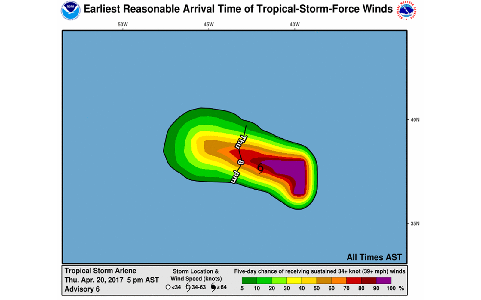
A new map is available today on NOAA’s National Hurricane Center (NHC) website that was developed with the help of ERG social science research. The graphic depicts the potential arrival time of sustained tropical storm-force winds from the first named storm of the 2017 hurricane season. The map will be a critical planning tool for coastal communities, as many preparedness activities become too dangerous to complete once winds reach tropical storm-force strength. ERG tested prototypes of the map with stakeholders over several years, conveying the feedback at each juncture to the NHC, who then used the input to enhance the map’s design and messaging. The map is experimental this year.