ERG Sampling Informs Bureau of Land Management Decision-Making
From March to October 2022, ERG sampled more than 1,500 randomized field sites across Arizona, Utah, and Wyoming as part of the Bureau of Land Management’s (BLM’s) Assessment, Inventory, and Monitoring (AIM) program. Through AIM, ERG implemented a standardized monitoring strategy for assessing natural resource conditions on BLM public lands, in both land-based sampling (“terrestrial”) as well as rivers and streams (“lotic”). Under the terrestrial effort, more than 40 staff collected vegetation data and soil conditions to help set long-term monitoring goals. BLM is now able to use these data to assess plant species cover and composition, plant height, soil salinity, and soil horizon classifications. This helps inform management decisions—such as land use planning, wildlife habitat studies, recreational use, and grazing permitting—on the lands BLM oversees. The ERG teams plan to revisit the AIM sites every five years to measure any trends that may be occurring across the landscape.
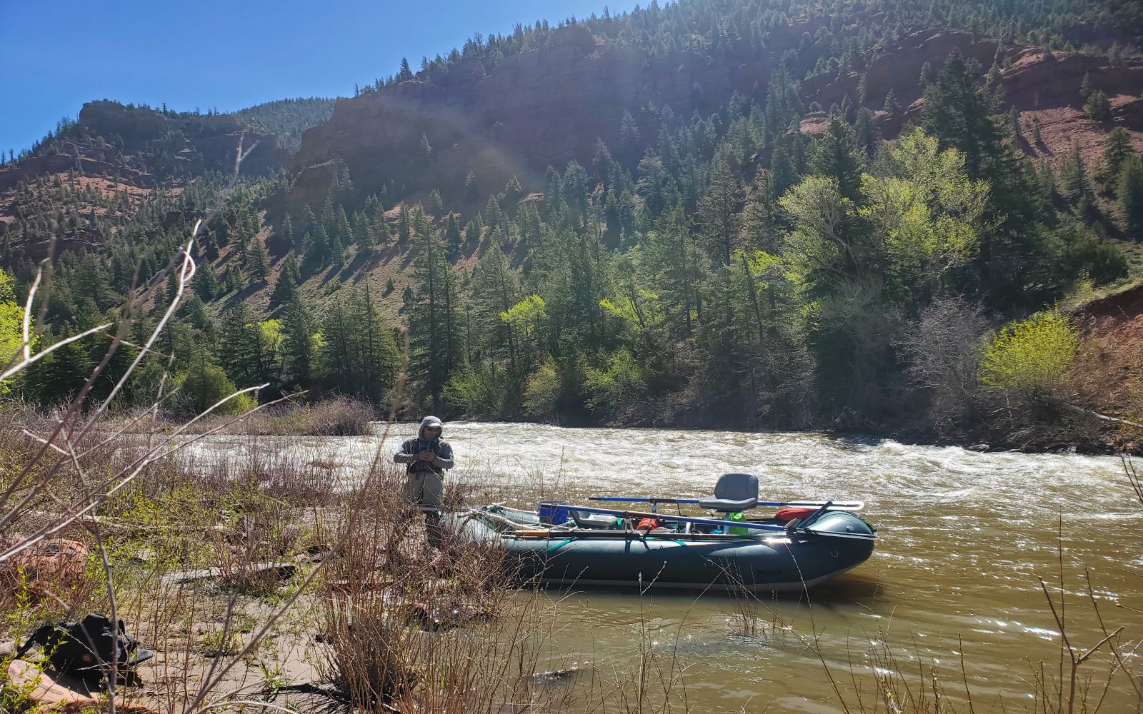
Another ERG team sampled an additional 50 sites across seven states for BLM’s Lotic AIM strategy. The team of two conducted sampling for water quality, geomorphology, and biological indicators. The lotic data will help inform BLM's stream management approach to understand stream trends that are located on BLM lands.